
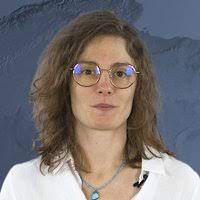
Sophie Giffard-Roisin
Researcher, IRD, ISTerre, Grenoble
sophie.giffard@univ-grenoble-alpes.fr
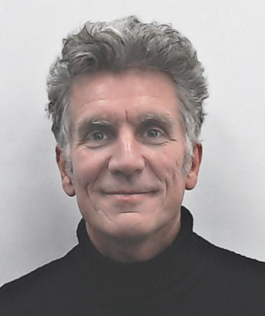
Jocelyn Chanussot
Research Director, INRIA, Grenoble
Jocelyn.chanussot@inria.fr
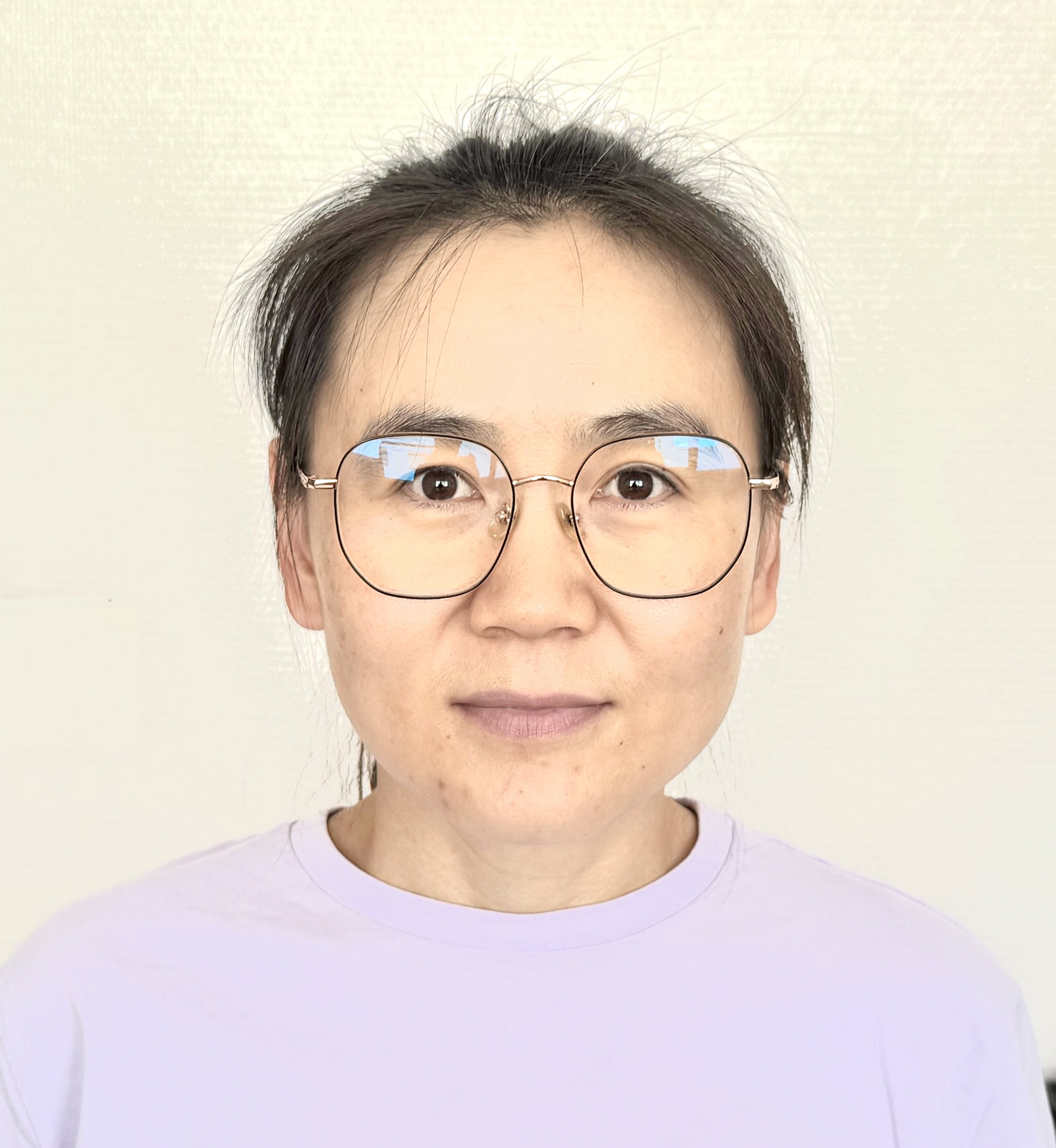
Yajing Yan
Associate Professor, LISTIC, Annecy
yajing.yan@univ-smb.fr
DESCRIPTION
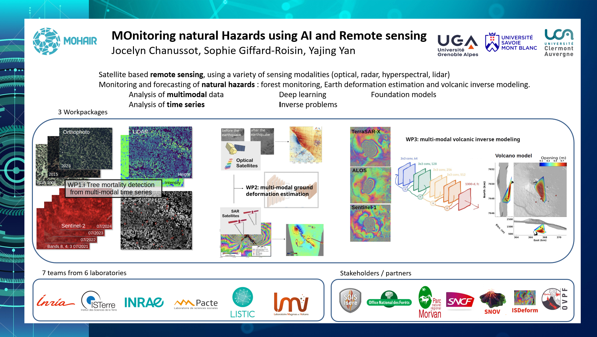
Satellite-based remote sensing, using a variety of sensing modalities (optical, radar, hyperspectral, lidar), offers a unique source of information for monitoring the environment, with high spatial resolution, wide coverage, and frequent revisit. This makes it possible to address the challenge of monitoring and forecasting natural hazards, which has a significant societal impact. To fully harness the potential of remote sensing data, advanced algorithms in machine learning, deep learning, or, more broadly, artificial intelligence, must be developed. By bringing together an interdisciplinary team of experts from data science, environmental and Earth sciences, as well as the social sciences, this chair will focus on three key topics: forest monitoring, Earth deformation estimation, and volcanic inverse modeling. From a methodological perspective, research will focus on the analysis of multimodal and time-series deep learning, deep learning inverse problems, and foundation models.
ACTIVITIES
The chair is organized into 3 work packages comprising a total of 6 main tasks. Four PhD students will be hired, along with several postdoctoral researchers and interns.
WP1: Remote Sensing, AI, and Forestry
- Tree Mortality in Mountain Forests in the Face of Increasing Fire Risk
- Socio-spatial Implementation of the Morvan Christmas Trees
WP2: Multimodal Methods for Estimating Earth Deformation
- Multimodal Estimation of Earth Displacement Fields: Application to
- earthquakes.
- Monitoring of critical risk zones near infrastructure
WP3: Volcanic inverse modeling
- Fast Estimation of Volcanic Model Parameters
- Rapid Classification of Volcanic Mechanisms
CHAIR EVENTS
Participation in the “ MIAI Days,” June 19–20, 2025
The kick-off meeting was held on June 23, 2025.
If you are affiliated with one of the Cluster MIAI partners (in Grenoble, Annecy, or Clermont-Ferrand), you are welcome to attend the machine learning and geoscience meetings organized by the
MOHAIR meets every other week on Tuesdays at 4 p.m., in person at ISTerre Grenoble or via Zoom.
To do this, simply sign up for the AI-geoscience mailing list:
https://listes.univ-grenoble-alpes.fr/sympa/info/ai-geoscience
SELECTED LIST OF PUBLICATIONS
- [1] Dutrieux, R., Ose, K., de Boissieu, F., Féret, J.-B., 2024. fordead: a python package for vegetation anomalies detection from SENTINEL-2 images. https://doi.org/10.5281/zenodo.12802456
- [2] Tolan, J., Yang, H.I., Nosarzewski, B., Couairon, G., Vo, H.V., Brandt, J., Spore, J., Majumdar, S., Haziza, D., Vamaraju, J. and Moutakanni, T., 2024. Very high resolution canopy height maps from RGB imagery using self-supervised vision transformer and convolutional decoder trained on aerial lidar. Remote Sensing of Environment, 300, p.113888
- [3] Hong, D., Gao, L., Yokoya, N., Yao, J., Chanussot, J., Du, Q., & Zhang, B. (2020). More diverse means better: Multimodal deep learning meets remote-sensing imagery classification. IEEE Transactions on Geoscience and Remote Sensing, 59(5), 4340-4354.
- [4] Guo, X., et al. "Skysense: A multi-modal remote sensing foundation model towards universal interpretation for earth observation imagery." Proceedings of the IEEE/CVF Conference on Computer Vision and Pattern Recognition.
- [5] Lacoste, A., et al. "Geo-bench: Toward foundation models for earth monitoring." Advances in Neural Information Processing Systems 36 (2024).
- [6] Ilg, E., et al. "Flownet 2.0: Evolution of optical flow estimation with deep networks." Proceedings of the IEEE conference on computer vision and pattern recognition. 2017.
- [7] Teed Z., and Jia Deng. "Raft: Recurrent all-pairs field transforms for optical flow." Computer Vision–ECCV 2020: 16th European Conference, Glasgow, UK, August 23–28, 2020, Proceedings, Part II 16. Springer International Publishing, 2020.
- [8] Albino, F., Amelung, F., & Gregg, P. (2018). The role of pore fluid pressure on the failure of magma reservoirs: insights from Indonesian and Aleutian arc volcanoes. Journal of Geophysical Research: Solid Earth, 123(2), 1328-1349.
- [9] Dumont, Q., Cayol, V., & Froger, J. L. (2024). Is stress modeling able to forecast intrusions and slip events at Piton de la Fournaise volcano. Earth and Planetary Science Letters, 626, 118494.
- [10] Anantrasirichai, N., Biggs, J., Albino, F., & Bull, D. (2019a). A deep learning approach to detecting volcano deformation from satellite imagery using synthetic datasets. Remote Sensing of Environment, 230, 111179.
- [11] Anantrasirichai, N., Biggs, J., Albino, F., & Bull, D. (2019b). The application of convolutional neural networks to detect slow, sustained deformation in InSAR time series. Geophysical Research Letters, 46(21), 11850-11858.
- [12] Biggs, J., Anantrasirichai, N., Albino, F., Lazecky, M., & Maghsoudi, Y. (2022). Large-scale demonstration of machine learning for the detection of volcanic deformation in Sentinel-1 satellite imagery. Bulletin of Volcanology, 84(12), 100.
- [13] Gaddes, M. E., Hooper, A., & Bagnardi, M. (2019). Using machine learning to automatically detect volcanic unrest in a time series of interferograms. Journal of Geophysical Research: Solid Earth, 124(11), 12304-12322.
- [14] Gaddes, M., Hooper, A., & Albino, F. (2024). Simultaneous classification and location of volcanic deformation in SAR interferograms using a convolutional neural network. Earth and Space Science, 11(6), e2024EA003679.
- [15] Lopez-Uroz L., Yan Y., Benoit A., Albino F., Bouygues P., Giffard-Roisin S., Pinel V., Exploring Deep Learning for Volcanic Source Inversion, IEEE Transactions on Geosciences & Remote Sensing, vol.62, doi: 10.1109/TGRS.2024.3494253
- [16] Lahssini K., Teste F., Dayal K. R., Durrieu S., Ienco D. and Monnet J.-M., "Combining LiDAR Metrics and Sentinel-2 Imagery to Estimate Basal Area and Wood Volume in Complex Forest Environment via Neural Networks," in IEEE Journal of Selected Topics in Applied Earth Observations and Remote Sensing, vol. 15, pp. 4337-4348, 2022, doi: 10.1109/JSTARS.2022.3175609
- [17] Dayal K. R., Durrieu S., Lahssini K., Ienco D. and Monnet J.-M., "Enhancing Forest Attribute Prediction by Considering Terrain and Scan Angles From Lidar Point Clouds: A Neural Network Approach," in IEEE Journal of Selected Topics in Applied Earth Observations and Remote Sensing, vol. 16, pp. 3531-3544, 2023, doi:10.1109/JSTARS.2023.3263595
- [18] Montagnon, T., Hollingsworth, J., Pathier, E., Marchandon, M., Dalla Mura, M., Giffard-Roisin, S., & Dalla, Mura. (2024). GeoFlowNet: Fast and Accurate Sub-pixel Displacement Estimation From Optical Satellite Images based on Deep Learning.
- [19] Okada, Y. (1985). Surface deformation due to shear and tensile faults in a half-space. Bulletin of the seismological society of America, 75(4), 1135-1154.
- [20] - Cayol V., Carry T., Michon L, Chaput M., Famin V., Bodart O., Froger J.L., Romagnoli C. (2014), Sheared sheet intrusions as mechanism for lateral flank displacement on basaltic volcanoes: Applications to Réunion Island volcanoes, Journal of Geophysical Research, 119, 7607-7635.
- [21] Dumont, Q., Cayol, V., Froger, J. L., & Peltier, A. (2022). 22 years of satellite imagery reveal a major destabilization structure at Piton de la Fournaise. Nature communications, 13(1), 2649.
CHAIR PRESENTATION
License:
Unless otherwise stated, all documents are shared under the Creative Commons BY-NC-ND 4.0 license.
You may view and share them for non-commercial purposes, without modification, and with appropriate credit to the authors.